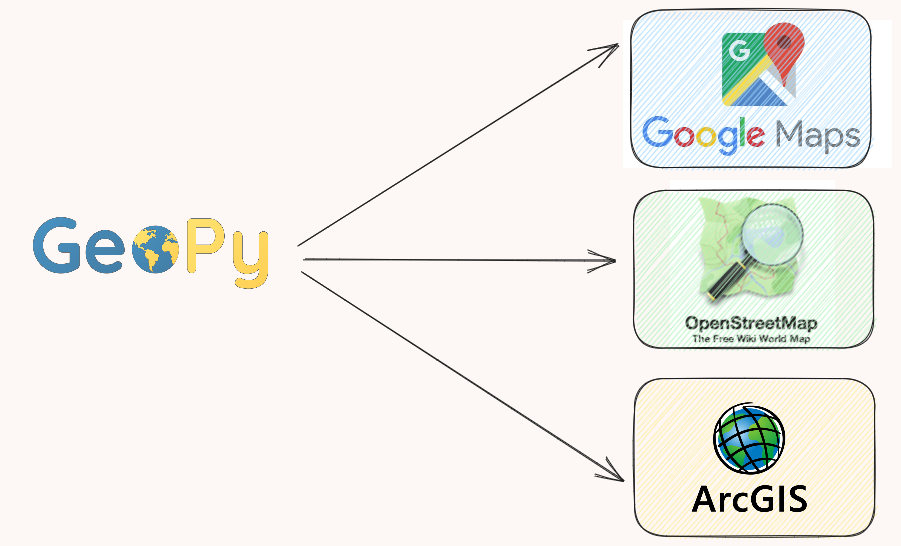
Geopy is an open-source Python library specialized in adding the location to the data through a huge variety of geocoding services, such as Google Maps, Open StreeMap, and ArcGIS.
You may guess why you can’t use the geocode service directly instead of the Python library. The beauty of Geopy is that you can exploit these geocoding services with few lines of code. Indeed, Geopy implemented the class for each of these services, and you can easily switch from one service’s API to another.
Leave a Reply